
Consultation and Public Exhibitions
As part of our pre-application consultation, we are hosting two public exhibitions in the local area where we will be sharing more information about the project and attendees will be able to provide us with their feedback.
Our team will be on hand to answer any questions and comment forms will be available to gather feedback.
Monday 21 September 2026
1pm - 7pm
Farr Community Hall, Inverarnie Park, IV2 6AX
Tues 22 September 2026
1pm – 7pm
The Strathdearn Hub, Tomatin, IV13 7YN
All information provided during the public exhibitions is available to view below.
The exhibition initiates a consultation period being run by RES to gather comments on the proposal.
The closing date for comments is Friday 23 October 2026.
Comments will still be accepted after this date but may not be considered in relation to the design development.
Have your say
If you would like to provide feedback to us on the project, you can do so by filling in a comment form here.
Click on each image to enlarge
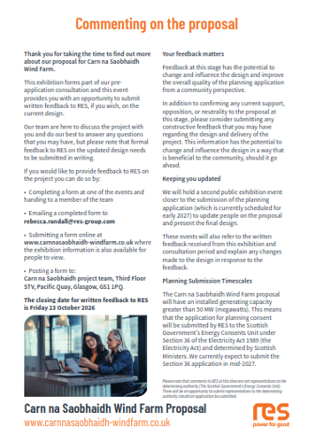
Welcome to our public exhibition
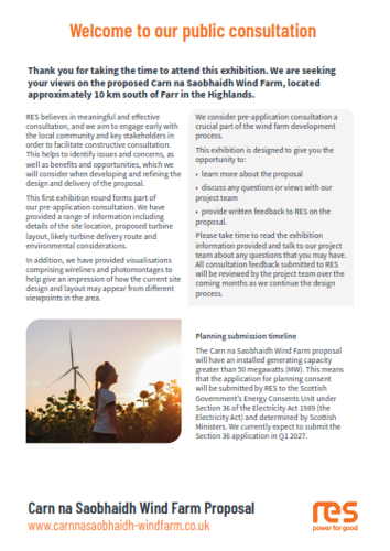
The need for onshore wind
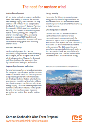
Infrastructure and layout
Interactive map
We have created an interactive map of the current design for Carn Na Saobhaidh Wind Farm. By exploring the different layers, and zooming in and out on the map you will be able to see:
- the new turbine and infrastructure placement, within the red line boundary
- the full constraints map showing information gathered from archaeology, cultural heritage, ecology, hydrology and peat surveys
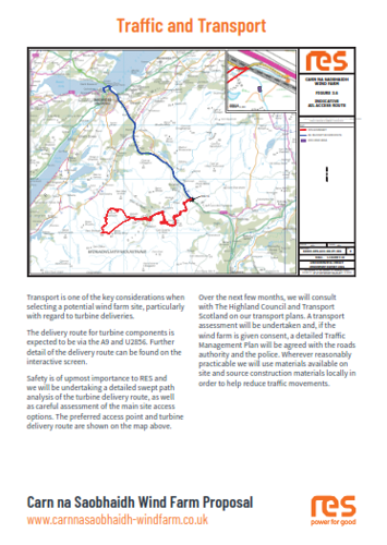
- the full transport and access route
- nearby operational wind farms and other wind farms in planning and/or development
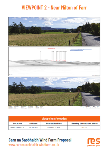
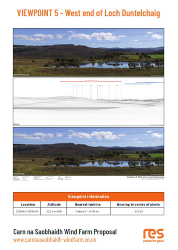
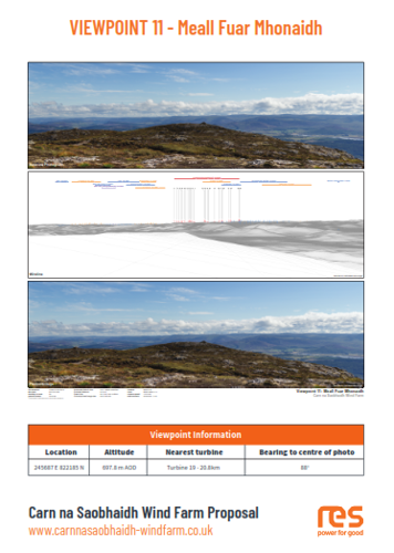
- viewpoint locations and the Zone of Theoretical Visibility (ZTV) (theoretical extent of where turbines will be visible from, assuming 100% visibility as per NatureScot guidance)
- viewpoints coloured in pink have photomontages and wirelines prepared for them which will open when you click on the viewpoint. You can maximise the picture in a new tab by clicking on it.
We have set the map to open on the infrastructure layout for initial viewing and have included a legend to help you read the map. To view the legend, and to see the list of other layers available, please open the menu on the left hand side. To 'switch' each layer on and off, click the 'eye' image, which will appear as you hover on each layer to hide/view. In addition to selecting the different layers, you will be able to move the slider from left to right across the screen to compare the current design with the Scoping layout from 2025.
To search for your address to understand the theoretical visibility from your property, click the 'Search' button at the top of the left hand menu and enter your details.
.
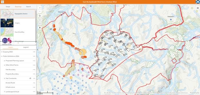
Click on image to open the interactive map
We recommend viewing the map on a desktop device or in landscape format for best viewing and user experience.
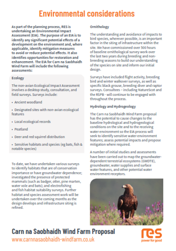

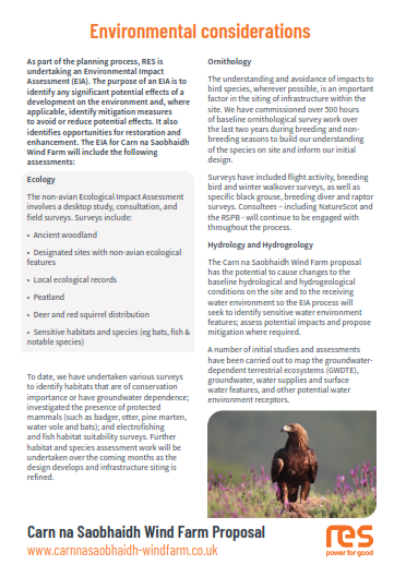
Environmental considerations
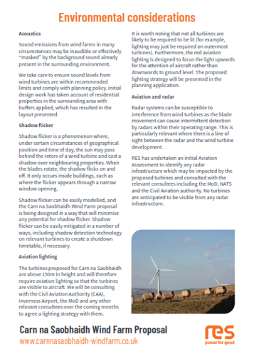
Traffic and transport
Viewpoint 2 - Near Milton of Farr
Viewpoint 5 - West end of Loch Duntelchaig
Viewpoint 11 - Meall Fuar Mhonaidh
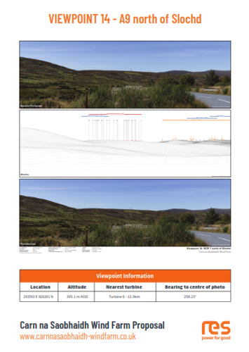
Viewpoint 14 - A9 north of Slochd
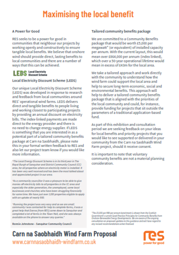
Maximising the local benefit
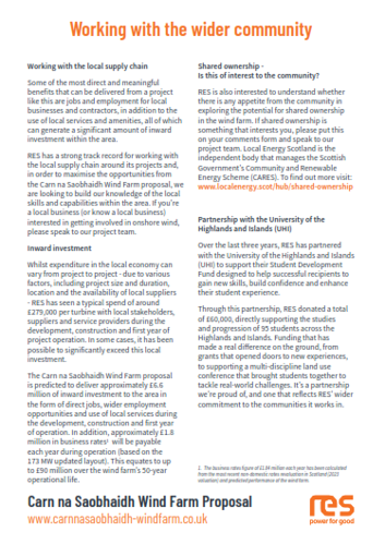
Working with the wider community
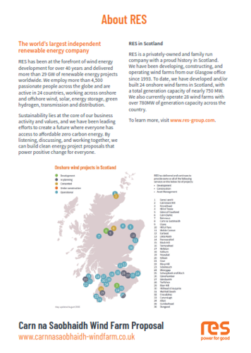
About RES
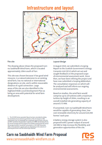
Commenting on the proposal